Flyavionics

Awesome Services

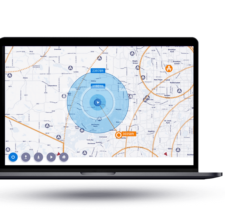
Surveying and Mapping

Our drones are equipped with high-precision sensors and cameras that allow us to generate accurate 3D models and maps of large areas, such as construction sites, mining operations, and more.

DETAILS

Industrial Inspections

We use drones to safely inspect industrial structures and equipment, such as power lines, wind turbines, and oil and gas pipelines, reducing the need for costly and dangerous manual inspections.

DETAILS

Delivery Services

We also provide drone-based delivery services, which can be used to transport small packages, medical supplies and even food to remote and hard-to-reach areas.

DETAILS

Aerial Photography and Videography

We provide professional drone operators who are skilled in capturing stunning aerial footage for real estate, weddings, events, and more.

DETAILS

Search and Rescue

Our drones are equipped with thermal imaging cameras and other advanced sensors that can help locate missing persons and animals in difficult-to-reach areas.

DETAILS

Buildings DesigEnvironmental Monitoring

Our drones can be used to monitor wildlife, track changes in vegetation, and detect pollution and other environmental hazards.

DETAILS
We provide expert inspection services for your organization’s mission critical assets using drone technology.
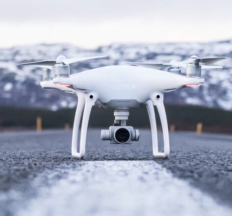
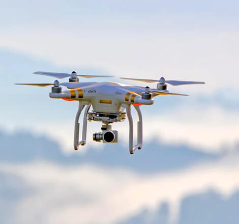
At FlyAvionics, we deliver cutting-edge drone solutions tailored to the unique needs of industries across Congo, Matadi, and beyond. From high-accuracy land surveys and topographic mapping to infrastructure inspections, agricultural monitoring, and environmental assessments — our drone technology provides fast, safe, and cost-effective results. Whether you're planning a large-scale development or need detailed aerial data for ongoing operations, our team combines local knowledge with global expertise to ensure every flight delivers actionable insights.
Use Platform

Efficiency and Optimization

Our drone services are engineered to enhance operational efficiency and drive smarter outcomes. By leveraging advanced aerial technology, we help businesses reduce costs, accelerate project timelines, and improve data accuracy—all while minimizing on-site risks.

  • Faster Data Collection: Complete surveys and inspections in hours—not days—saving valuable time on every project.
  • Reduced Operational Costs: Minimize manpower, equipment use, and field risks with automated aerial workflows.
  • Improved Accuracy: Capture high-resolution imagery and precise geospatial data for better decision-making and reduced rework.
MORE
In today’s fast-paced industries, efficiency isn’t just a benefit—it’s a necessity. Our drone solutions are built to streamline workflows, reduce overhead, and provide rapid, reliable insights that keep your projects moving forward. Whether you're managing a construction site, surveying land, or monitoring agricultural fields, we help you do more in less time, with greater precision and lower costs.
01

Protect People and Assets from Unnecessary Exposure

Our drones can access hazardous, remote, or hard-to-reach areas without endangering workers. From high-altitude inspections to monitoring unstable terrain, we minimize risks while maximizing operational visibility.

DISCOVER
02

Get Instant Insights to Drive Smarter Decisions

We provide live data feeds, 3D models, and instant reporting—enabling project managers and stakeholders to act fast with accurate, real-time information.

DISCOVER
Contact us

Stay in touch